
Thank you for supporting this site ❤️
Make a donation
Make a donation
Graddagunta topographic map
Click on the map to display elevation.
Thank you for supporting this site ❤️
Make a donation
Make a donation
About this map
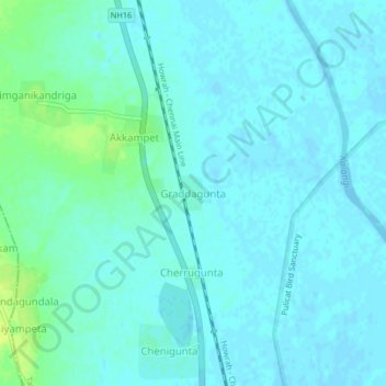
Name: Graddagunta topographic map, elevation, terrain.
Location: Graddagunta, Tada, Tirupati, Andhra Pradesh, 524401, India (13.61794 80.00236 13.65794 80.04236)
Average elevation: 4 m
Minimum elevation: -3 m
Maximum elevation: 16 m
Thank you for supporting this site ❤️
Make a donation
Make a donation