
日光市 topographic map
Interactive map
Click on the map to display elevation.
About this map
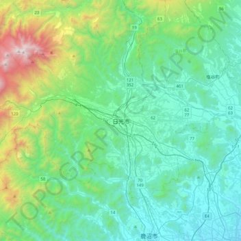
Name: 日光市 topographic map, elevation, terrain.
Location: 日光市, Präfektur Tochigi, Kantō, 3211273, Japan (36.55993 139.53833 36.87993 139.85833)
Average elevation: 564 m
Minimum elevation: 116 m
Maximum elevation: 2,439 m