
Grâce-Berleur topographic map
Interactive map
Click on the map to display elevation.
About this map
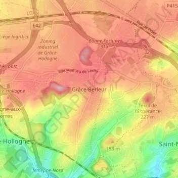
Name: Grâce-Berleur topographic map, elevation, terrain.
Location: Grâce-Berleur, Grâce-Hollogne, Lüttich, Wallonien, 4460, Belgien (50.61239 5.48134 50.65239 5.52134)
Average elevation: 137 m
Minimum elevation: 57 m
Maximum elevation: 220 m