
Sacedón topographic map
Interactive map
Click on the map to display elevation.
About this map
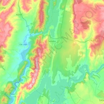
Name: Sacedón topographic map, elevation, terrain.
Location: Sacedón, Guadalajara, Castela-Mancha, 19120, Espanha (40.39513 -2.78417 40.53752 -2.63307)
Average elevation: 793 m
Minimum elevation: 637 m
Maximum elevation: 1,057 m