
Borger topographic map
Interactive map
Click on the map to display elevation.
About this map
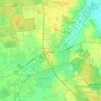
Name: Borger topographic map, elevation, terrain.
Location: Borger, Borger-Odoorn, Drenthe, Netherlands (52.91005 6.72418 52.93971 6.82001)
Average elevation: 18 m
Minimum elevation: 7 m
Maximum elevation: 29 m