
Make a donation
Tqibuli topographic map
Click on the map to display elevation.
Make a donation
Tqibuli
Tkibuli or Tqibuli (Georgian: ტყიბული) is a town in west-central Georgia of 8,130 residents (January 2024). located in the Imereti region at the foot of the Racha Range and the Nakerala limestone cliff, which marks the boundary of the historic region Racha. Tkibuli gained city status in 1939, and has been a coal mining centre since mining started in 1846. The city is also known for the tea that is grown in the region and sold throughout the country. It is located between two man-made reservoirs used for hydropower generation with an elevation difference of more than 600 metres (2,000 ft).
Make a donation
About this map
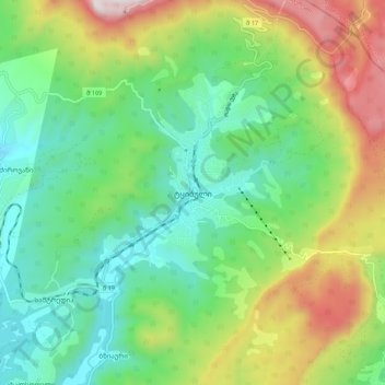
Name: Tqibuli topographic map, elevation, terrain.
Location: Tqibuli, Tqibuli Municipality, Imereti, Georgia (42.30772 42.95808 42.38772 43.03808)
Average elevation: 826 m
Minimum elevation: 488 m
Maximum elevation: 1,508 m
Make a donation