Geolocate

Pubail topographic map

Interactive map

Click on the map to display elevation.

About this map

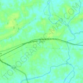
Name: Pubail topographic map, elevation, terrain.

Location: Pubail, Gazipur District, Dhaka Division, Bangladesh (23.91523 90.45653 23.95523 90.49653)

Average elevation: 6 m

Minimum elevation: -1 m

Maximum elevation: 12 m

Other topographic maps

Click on a map to view its topography, its elevation and its terrain.

Padma River

Bangladesh > Dhaka Division

Average elevation: 7 m

Gazaria Upazila

Bangladesh > Dhaka Division

Average elevation: 4 m

Bhanga Upazila

Bangladesh > Dhaka Division

Average elevation: 6 m

Kaliganj Upazila

Bangladesh > Dhaka Division

Average elevation: 7 m

Kushiyara River

Bangladesh > Dhaka Division

Average elevation: 7 m

Mohammadpur

Bangladesh > Dhaka Division > Mohammadpur

Average elevation: 10 m