
Lake Kerere topographic map
Interactive map
Click on the map to display elevation.
About this map
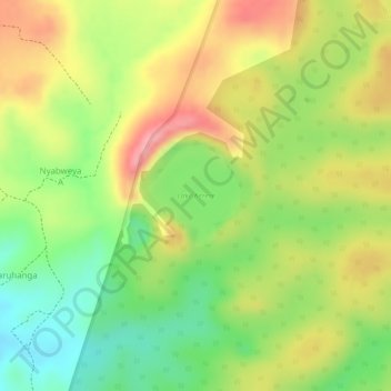
Name: Lake Kerere topographic map, elevation, terrain.
Location: Lake Kerere, Nyabweya A, Kabarole, Western Region, Uganda (0.41503 30.30574 0.42214 30.31215)
Average elevation: 1,212 m
Minimum elevation: 1,142 m
Maximum elevation: 1,280 m