
Thank you for supporting this site ❤️
Make a donation
Make a donation
Tonkawa topographic map
Click on the map to display elevation.
Thank you for supporting this site ❤️
Make a donation
Make a donation
About this map
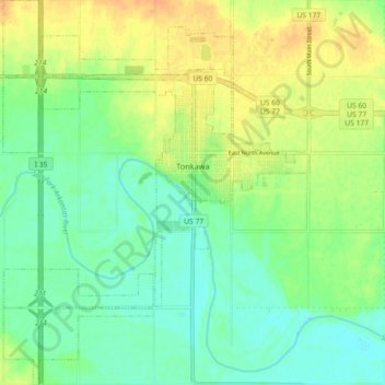
Name: Tonkawa topographic map, elevation, terrain.
Location: Tonkawa, Kay County, Oklahoma, 74653, United States (36.63726 -97.35470 36.70970 -97.28274)
Average elevation: 300 m
Minimum elevation: 287 m
Maximum elevation: 317 m
Thank you for supporting this site ❤️
Make a donation
Make a donation
Other topographic maps
Click on a map to view its topography, its elevation and its terrain.