
Warren topographic map
Interactive map
Click on the map to display elevation.
About this map
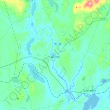
Name: Warren topographic map, elevation, terrain.
Location: Warren, Knox County, Maine, 04864, United States (44.05478 -69.32153 44.19097 -69.16055)
Average elevation: 47 m
Minimum elevation: -17 m
Maximum elevation: 315 m