
Thank you for supporting this site ❤️
Make a donation
Make a donation
Gundackersdorf topographic map
Click on the map to display elevation.
Thank you for supporting this site ❤️
Make a donation
Make a donation
About this map
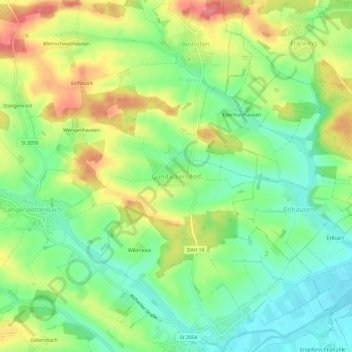
Name: Gundackersdorf topographic map, elevation, terrain.
Average elevation: 494 m
Minimum elevation: 461 m
Maximum elevation: 537 m
Thank you for supporting this site ❤️
Make a donation
Make a donation
Other topographic maps
Click on a map to view its topography, its elevation and its terrain.
85229
Deutschland > Bayern > Landkreis Dachau > Markt Indersdorf > Westerholzhausen > Gittersbach
Average elevation: 497 m