
Boquía topographic map
Interactive map
Click on the map to display elevation.
About this map
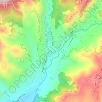
Name: Boquía topographic map, elevation, terrain.
Location: Boquía, Salento, Fría, Quindío, 631027, Colombia (4.63262 -75.59632 4.65262 -75.57632)
Average elevation: 1,844 m
Minimum elevation: 1,700 m
Maximum elevation: 2,025 m
Other topographic maps
Click on a map to view its topography, its elevation and its terrain.