
Thank you for supporting this site ❤️
Make a donation
Make a donation
Conggeang Kulon topographic map
Click on the map to display elevation.
Thank you for supporting this site ❤️
Make a donation
Make a donation
About this map
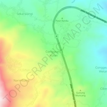
Name: Conggeang Kulon topographic map, elevation, terrain.
Location: Conggeang Kulon, Sumedang, West Java, Indonesia (-6.76735 107.98543 -6.72735 108.02543)
Average elevation: 409 m
Minimum elevation: 197 m
Maximum elevation: 784 m
Thank you for supporting this site ❤️
Make a donation
Make a donation