
Lebanon topographic map
Click on the map to display elevation.
About this map
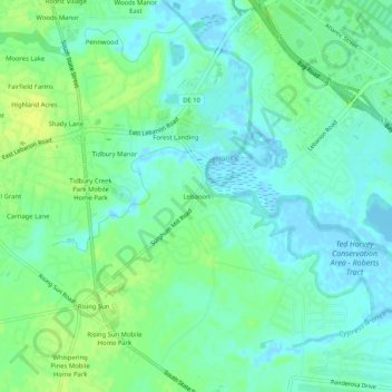
Name: Lebanon topographic map, elevation, terrain.
Location: Lebanon, Kent County, Delaware, 19902, United States (39.09156 -75.52051 39.13156 -75.48051)
Average elevation: 7 m
Minimum elevation: -6 m
Maximum elevation: 16 m