
Thank you for supporting this site ❤️
Make a donation
Make a donation
Rich Creek topographic map
Click on the map to display elevation.
Thank you for supporting this site ❤️
Make a donation
Make a donation
About this map
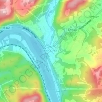
Name: Rich Creek topographic map, elevation, terrain.
Location: Rich Creek, Giles County, Virginia, United States (37.37162 -80.83258 37.39304 -80.81058)
Average elevation: 534 m
Minimum elevation: 452 m
Maximum elevation: 674 m
Thank you for supporting this site ❤️
Make a donation
Make a donation