
Zühlsdorf topographic map
Interactive map
Click on the map to display elevation.
About this map
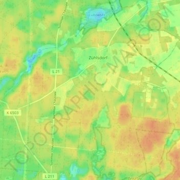
Name: Zühlsdorf topographic map, elevation, terrain.
Average elevation: 56 m
Minimum elevation: 37 m
Maximum elevation: 69 m
Other topographic maps
Click on a map to view its topography, its elevation and its terrain.
Schildow
Deutschland > Brandenburg > Oberhavel > Mühlenbecker Land
Schildow, Mühlenbecker Land, Oberhavel, Brandenburg, 16552, Deutschland
Average elevation: 44 m