
Thank you for supporting this site ❤️
Make a donation
Make a donation
Naseby topographic map
Click on the map to display elevation.
Thank you for supporting this site ❤️
Make a donation
Make a donation
Naseby
Naseby is a small town, formerly a borough, in the Maniototo area of Central Otago, New Zealand. It is named after a village in Northamptonshire, England, which was the site of a major battle during the English Civil War. Previous names of the township were Parker's, Hogburn and Mt Ida. The town catch phrase is "2000 feet above worry level" indicating its altitude. Naseby is 395 km (5 hours drive) from Christchurch and 143 km (1 hour 45 minutes drive) from Dunedin.
Thank you for supporting this site ❤️
Make a donation
Make a donation
About this map
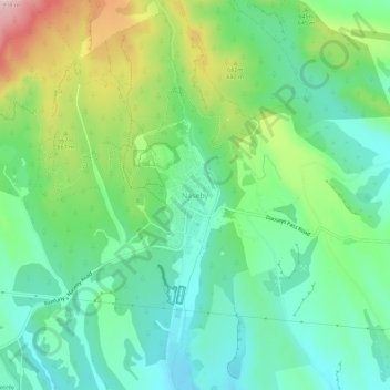
Name: Naseby topographic map, elevation, terrain.
Location: Naseby, Central Otago District, Otago, 9396, New Zealand (-45.04498 170.12601 -45.00498 170.16601)
Average elevation: 619 m
Minimum elevation: 539 m
Maximum elevation: 794 m
Thank you for supporting this site ❤️
Make a donation
Make a donation