
Thank you for supporting this site ❤️
Make a donation
Make a donation
Wells topographic map
Click on the map to display elevation.
Thank you for supporting this site ❤️
Make a donation
Make a donation
About this map
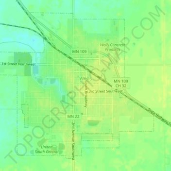
Name: Wells topographic map, elevation, terrain.
Location: Wells, Faribault County, Minnesota, United States (43.73139 -93.74454 43.75448 -93.71062)
Average elevation: 353 m
Minimum elevation: 342 m
Maximum elevation: 360 m
Thank you for supporting this site ❤️
Make a donation
Make a donation
Other topographic maps
Click on a map to view its topography, its elevation and its terrain.