
Village of Sloan topographic map
Interactive map
Click on the map to display elevation.
About this map
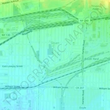
Name: Village of Sloan topographic map, elevation, terrain.
Average elevation: 190 m
Minimum elevation: 184 m
Maximum elevation: 205 m
Other topographic maps
Click on a map to view its topography, its elevation and its terrain.
Cheektowaga
United States > New York > Erie County > Town of Cheektowaga
Cheektowaga, Town of Cheektowaga, Erie County, New York, United States
Average elevation: 200 m
Pine Hill
United States > New York > Erie County > Town of Cheektowaga
Pine Hill, Town of Cheektowaga, Erie County, New York, 14215, United States
Average elevation: 201 m