
Thank you for supporting this site ❤️
Make a donation
Make a donation
Hamlet topographic map
Click on the map to display elevation.
Thank you for supporting this site ❤️
Make a donation
Make a donation
About this map
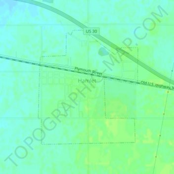
Name: Hamlet topographic map, elevation, terrain.
Location: Hamlet, Starke County, Indiana, United States (41.37103 -86.59261 41.38875 -86.57201)
Average elevation: 213 m
Minimum elevation: 207 m
Maximum elevation: 218 m
Thank you for supporting this site ❤️
Make a donation
Make a donation