
Thank you for supporting this site ❤️
Make a donation
Make a donation
Elliott Lake topographic map
Click on the map to display elevation.
Thank you for supporting this site ❤️
Make a donation
Make a donation
About this map
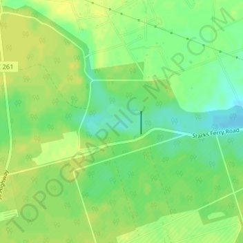
Name: Elliott Lake topographic map, elevation, terrain.
Location: Elliott Lake, Sumter County, South Carolina, United States (33.84851 -80.50406 33.85246 -80.49682)
Average elevation: 60 m
Minimum elevation: 48 m
Maximum elevation: 66 m
Thank you for supporting this site ❤️
Make a donation
Make a donation
Other topographic maps
Click on a map to view its topography, its elevation and its terrain.