
Lac Sauvage topographic map
Interactive map
Click on the map to display elevation.
About this map
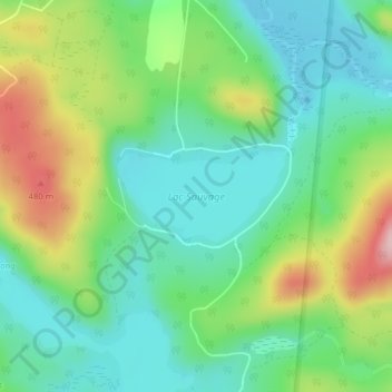
Name: Lac Sauvage topographic map, elevation, terrain.
Average elevation: 373 m
Minimum elevation: 304 m
Maximum elevation: 517 m
Other topographic maps
Click on a map to view its topography, its elevation and its terrain.
Mont-Blanc (Saint-Faustin-Lac-Carré)
Canada > Québec > Les Laurentides > Mont-Blanc
Mont-Blanc (Saint-Faustin-Lac-Carré), Mont-Blanc, Les Laurentides, Laurentides, Québec, J0T 1J3, Canada
Average elevation: 409 m