
Eden Valley topographic map
Interactive map
Click on the map to display elevation.
About this map
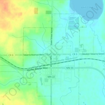
Name: Eden Valley topographic map, elevation, terrain.
Average elevation: 346 m
Minimum elevation: 333 m
Maximum elevation: 370 m
Other topographic maps
Click on a map to view its topography, its elevation and its terrain.
Sartell
Vereinigte Staaten von Amerika > Minnesota > Stearns County
Sartell, Stearns County, Minnesota, 56377, Vereinigte Staaten von Amerika
Average elevation: 323 m