
Thank you for supporting this site ❤️
Make a donation
Make a donation
Ban Luang topographic map
Click on the map to display elevation.
Thank you for supporting this site ❤️
Make a donation
Make a donation
About this map
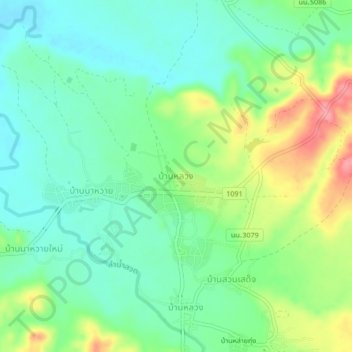
Name: Ban Luang topographic map, elevation, terrain.
Location: Ban Luang, Ban Luang District, Nan Province, Thailand (18.83180 100.41713 18.87180 100.45713)
Average elevation: 365 m
Minimum elevation: 333 m
Maximum elevation: 429 m
Thank you for supporting this site ❤️
Make a donation
Make a donation