
Thank you for supporting this site ❤️
Make a donation
Make a donation
Rio Bravo topographic map
Click on the map to display elevation.
Thank you for supporting this site ❤️
Make a donation
Make a donation
About this map
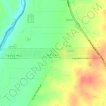
Name: Rio Bravo topographic map, elevation, terrain.
Location: Rio Bravo, Webb County, Texas, United States (27.36274 -99.50416 27.36685 -99.45996)
Average elevation: 130 m
Minimum elevation: 101 m
Maximum elevation: 163 m
Thank you for supporting this site ❤️
Make a donation
Make a donation