
Thank you for supporting this site ❤️
Make a donation
Make a donation
Anappuzha topographic map
Click on the map to display elevation.
Thank you for supporting this site ❤️
Make a donation
Make a donation
About this map
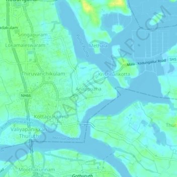
Name: Anappuzha topographic map, elevation, terrain.
Location: Anappuzha, Kodungallur, Thrissur, Kerala, 680677, India (10.18686 76.19437 10.22686 76.23437)
Average elevation: 4 m
Minimum elevation: -4 m
Maximum elevation: 19 m
Thank you for supporting this site ❤️
Make a donation
Make a donation
Other topographic maps
Click on a map to view its topography, its elevation and its terrain.