
Hoheging topographic map
Interactive map
Click on the map to display elevation.
About this map
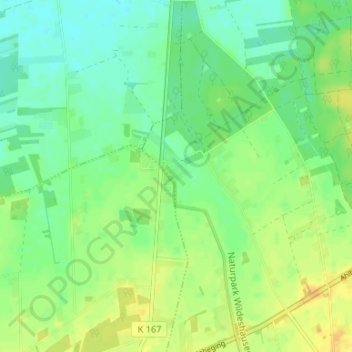
Name: Hoheging topographic map, elevation, terrain.
Average elevation: 39 m
Minimum elevation: 28 m
Maximum elevation: 53 m
Die Bauerschaft Hoheging gehört zum Dreiländereck "HoKeBü", das aus den Gemeinden Hoheging, Kellerhöhe (gehört zur Stadt Cloppenburg) und Bürgermoor (gehört zur Gemeinde Garrel) besteht.