
Kaying topographic map
Click on the map to display elevation.
About this map
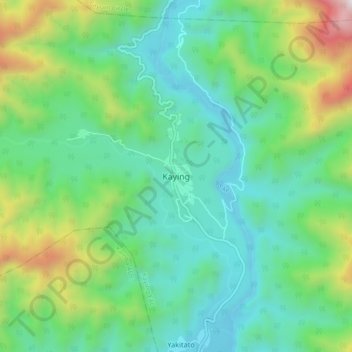
Name: Kaying topographic map, elevation, terrain.
Location: Kaying, Kaying EAC, Siang District, Arunachal Pradesh, India (28.37339 94.63881 28.45339 94.71881)
Average elevation: 717 m
Minimum elevation: 300 m
Maximum elevation: 1,885 m