
Ujni topographic map
Interactive map
Click on the map to display elevation.
About this map
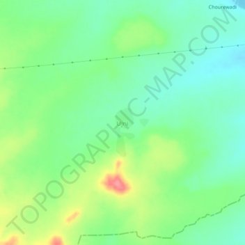
Name: Ujni topographic map, elevation, terrain.
Location: Ujni, Ambejogai, Beed District, Maharashtra, India (18.69009 76.66897 18.73009 76.70897)
Average elevation: 569 m
Minimum elevation: 540 m
Maximum elevation: 624 m