
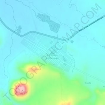
Curahuara de Carangas topographic map
Interactive map
Click on the map to display elevation.
About this map
Name: Curahuara de Carangas topographic map, elevation, terrain.
Location: Curahuara de Carangas, Provincia Sajama, Oruro, Bolivia (-17.84680 -68.41765 -17.83662 -68.40316)
Average elevation: 3,917 m
Minimum elevation: 3,882 m
Maximum elevation: 4,071 m