
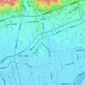
上峰町 topographic map
Interactive map
Click on the map to display elevation.
About this map
Name: 上峰町 topographic map, elevation, terrain.
Location: 上峰町, 三養基郡, Prefectura de Saga, Japón (33.29632 130.40579 33.36774 130.44258)
Average elevation: 30 m
Minimum elevation: -1 m
Maximum elevation: 321 m