
Thank you for supporting this site ❤️
Make a donation
Make a donation
Kokkonda topographic map
Click on the map to display elevation.
Thank you for supporting this site ❤️
Make a donation
Make a donation
About this map
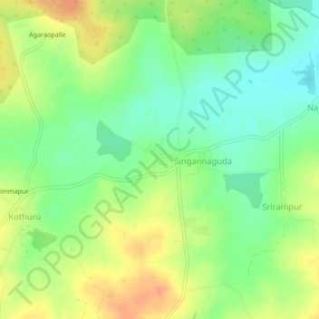
Name: Kokkonda topographic map, elevation, terrain.
Location: Kokkonda, Mulug mandal, Siddipet, Telangana, 502336, India (17.70191 78.52218 17.74191 78.56218)
Average elevation: 592 m
Minimum elevation: 573 m
Maximum elevation: 611 m
Thank you for supporting this site ❤️
Make a donation
Make a donation
Other topographic maps
Click on a map to view its topography, its elevation and its terrain.