
Monroe County topographic map
Interactive map
Click on the map to display elevation.
About this map
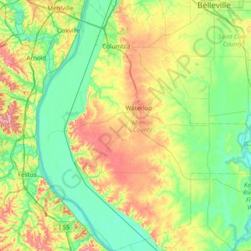
Name: Monroe County topographic map, elevation, terrain.
Location: Monroe County, Illinois, Vereinigte Staaten von Amerika (38.08791 -90.37305 38.52073 -89.89674)
Average elevation: 157 m
Minimum elevation: 108 m
Maximum elevation: 269 m