
Wote topographic map
Interactive map
Click on the map to display elevation.
About this map
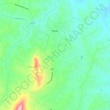
Name: Wote topographic map, elevation, terrain.
Location: Wote, Makueni, Ost, Kenia (-1.82353 37.60761 -1.76349 37.65182)
Average elevation: 1,139 m
Minimum elevation: 1,060 m
Maximum elevation: 1,344 m