
Thank you for supporting this site ❤️
Make a donation
Make a donation
Dörnberg topographic map
Click on the map to display elevation.
Thank you for supporting this site ❤️
Make a donation
Make a donation
About this map
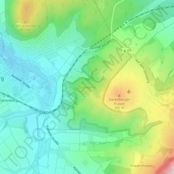
Name: Dörnberg topographic map, elevation, terrain.
Location: Dörnberg, Zierenberg, Landkreis Kassel, Hessen, Deutschland (51.35884 9.31846 51.37409 9.34273)
Average elevation: 346 m
Minimum elevation: 248 m
Maximum elevation: 567 m
Thank you for supporting this site ❤️
Make a donation
Make a donation