
Lahae topographic map
Interactive map
Click on the map to display elevation.
About this map
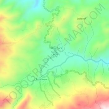
Name: Lahae topographic map, elevation, terrain.
Location: Lahae, Aileu, East Timor (-8.81009 125.54058 -8.77009 125.58058)
Average elevation: 1,204 m
Minimum elevation: 986 m
Maximum elevation: 1,539 m