
Pipari topographic map
Interactive map
Click on the map to display elevation.
About this map
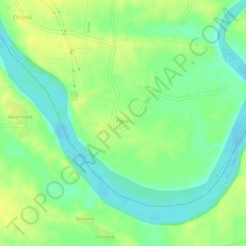
Name: Pipari topographic map, elevation, terrain.
Location: Pipari, Bhandara Taluka, Bhandara District, Maharashtra, India (21.06586 79.55964 21.08414 79.58745)
Average elevation: 247 m
Minimum elevation: 234 m
Maximum elevation: 256 m