
Punta Rubia topographic map
Interactive map
Click on the map to display elevation.
About this map
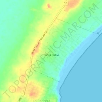
Name: Punta Rubia topographic map, elevation, terrain.
Location: Punta Rubia, Rocha, 27400, Uruguay (-34.58694 -54.13023 -34.56969 -54.10805)
Average elevation: 14 m
Minimum elevation: -1 m
Maximum elevation: 38 m