
Tentulikhunti topographic map
Interactive map
Click on the map to display elevation.
About this map
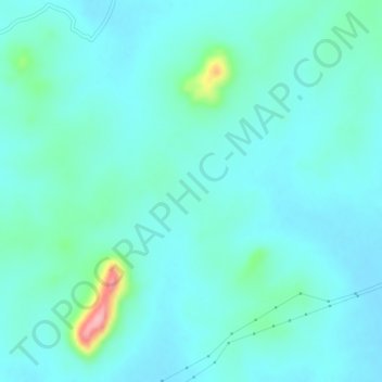
Name: Tentulikhunti topographic map, elevation, terrain.
Location: Tentulikhunti, Nabarangapur, Odisha, 764070, India (19.27510 82.65380 19.31510 82.69380)
Average elevation: 606 m
Minimum elevation: 584 m
Maximum elevation: 725 m