
Milkel topographic map
Interactive map
Click on the map to display elevation.
About this map
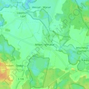
Name: Milkel topographic map, elevation, terrain.
Location: Milkel, Bautzen, Sachsen, Deutschland (51.27863 14.43665 51.31863 14.47665)
Average elevation: 139 m
Minimum elevation: 129 m
Maximum elevation: 159 m