
Thank you for supporting this site ❤️
Make a donation
Make a donation
La Chonta topographic map
Click on the map to display elevation.
Thank you for supporting this site ❤️
Make a donation
Make a donation
About this map
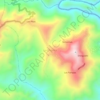
Name: La Chonta topographic map, elevation, terrain.
Location: La Chonta, Chinchipe, Zamora Chinchipe, Ecuador (-4.96736 -79.11456 -4.92736 -79.07456)
Average elevation: 966 m
Minimum elevation: 658 m
Maximum elevation: 1,396 m
Thank you for supporting this site ❤️
Make a donation
Make a donation
Other topographic maps
Click on a map to view its topography, its elevation and its terrain.