
Thank you for supporting this site ❤️
Make a donation
Make a donation
Nust topographic map
Click on the map to display elevation.
Thank you for supporting this site ❤️
Make a donation
Make a donation
About this map
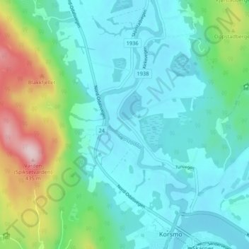
Name: Nust topographic map, elevation, terrain.
Location: Nust, Sør-Odal, Innlandet, 2100, Norway (60.25374 11.63947 60.29374 11.67947)
Average elevation: 194 m
Minimum elevation: 128 m
Maximum elevation: 431 m
Thank you for supporting this site ❤️
Make a donation
Make a donation
Other topographic maps
Click on a map to view its topography, its elevation and its terrain.