
Incedo topographic map
Interactive map
Click on the map to display elevation.
About this map
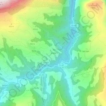
Name: Incedo topographic map, elevation, terrain.
Location: Incedo, Soba, Asón-Agüera, Cantabria, 39808, España (43.19419 -3.49923 43.23419 -3.45923)
Average elevation: 394 m
Minimum elevation: 113 m
Maximum elevation: 992 m