
Thank you for supporting this site ❤️
Make a donation
Make a donation
Eagle Pass topographic map
Click on the map to display elevation.
Thank you for supporting this site ❤️
Make a donation
Make a donation
About this map
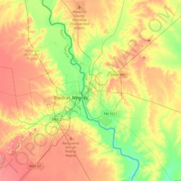
Name: Eagle Pass topographic map, elevation, terrain.
Location: Eagle Pass, Maverick County, Texas, 78852, United States (28.54993 -100.65381 28.86993 -100.33381)
Average elevation: 252 m
Minimum elevation: 196 m
Maximum elevation: 310 m
Thank you for supporting this site ❤️
Make a donation
Make a donation