
Remada topographic map
Interactive map
Click on the map to display elevation.
About this map
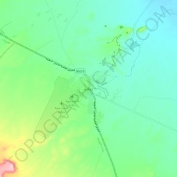
Name: Remada topographic map, elevation, terrain.
Location: Remada, رمادة الشرقية, معتمدية رمادة, Tataouine, 3240, Tunisia (32.27465 10.35870 32.35465 10.43870)
Average elevation: 295 m
Minimum elevation: 250 m
Maximum elevation: 430 m