
Leboriz topographic map
Interactive map
Click on the map to display elevation.
About this map
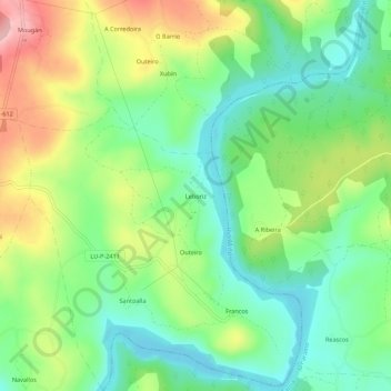
Name: Leboriz topographic map, elevation, terrain.
Location: Leboriz, Francos, Guntín, Lugo, Galicia, 27362, España (42.83043 -7.59814 42.87043 -7.55814)
Average elevation: 392 m
Minimum elevation: 326 m
Maximum elevation: 504 m
Other topographic maps
Click on a map to view its topography, its elevation and its terrain.