
Kerzers topographic map
Interactive map
Click on the map to display elevation.
About this map
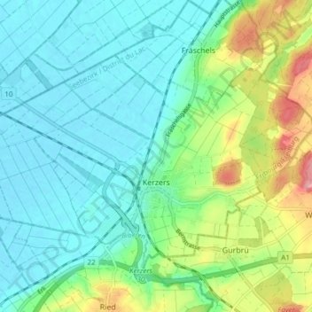
Name: Kerzers topographic map, elevation, terrain.
Location: Kerzers, Seebezirk, Freiburg, 3210, Schweiz (46.96365 7.16016 46.99717 7.23569)
Average elevation: 465 m
Minimum elevation: 432 m
Maximum elevation: 556 m