
West Butte topographic map
Interactive map
Click on the map to display elevation.
About this map
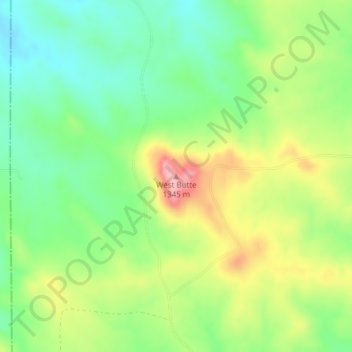
Name: West Butte topographic map, elevation, terrain.
Location: West Butte, Carter County, Montana, United States (45.09077 -105.02142 45.09087 -105.02132)
Average elevation: 1,271 m
Minimum elevation: 1,214 m
Maximum elevation: 1,356 m
Other topographic maps
Click on a map to view its topography, its elevation and its terrain.
Alzada
United States > Montana > Carter County > Alzada
Alzada, Carter County, Montana, United States
Average elevation: 1,052 m