
Madison topographic map
Interactive map
Click on the map to display elevation.
About this map
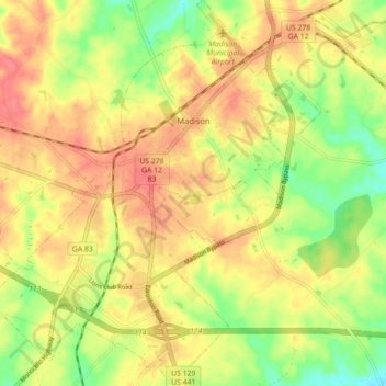
Name: Madison topographic map, elevation, terrain.
Location: Madison, Morgan County, Géorgie, États-Unis d'Amérique (33.54487 -83.51538 33.61875 -83.43872)
Average elevation: 195 m
Minimum elevation: 156 m
Maximum elevation: 225 m