
Oljato-Monument Valley topographic map
Interactive map
Click on the map to display elevation.
About this map
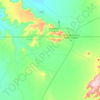
Name: Oljato-Monument Valley topographic map, elevation, terrain.
Location: Oljato-Monument Valley, Navajo County, Arizona, VS (36.96374 -110.27598 36.99843 -110.11196)
Average elevation: 1,620 m
Minimum elevation: 1,503 m
Maximum elevation: 1,942 m